"2023 Rolling Hills Estates Landslide Traced Back to Prior Winter"
July 12, 2024
This article has been reviewed according to Science X's editorial process and policies. Editors have highlighted the following attributes while ensuring the content's credibility:
- fact-checked
- peer-reviewed publication
- trusted source
- proofread
by University of California, Los Angeles
Californians are familiar with landslides that occur around storms, when saturated soil and rock loses its grip and slips from its perch on the substrate. These types of landslides can be triggered by intense rainfall, and incoming storms can be a warning that neighborhoods need to evacuate.
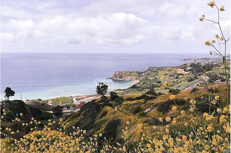
Landslides that happen during the hot, dry summers, though, tend to take people by surprise. In July 2023, for example, a landslide seemed to come out of nowhere to devastate a neighborhood in Rolling Hills Estates, located on the northern side of the Palos Verdes Peninsula in Los Angeles County.
Now, landslide researchers at UCLA and NASA's Jet Propulsion Laboratory, or JPL, have published a paper in Geophysical Research Letters that shows that the 2023 Rolling Hills Estates event was a slow-moving, progressive landslide that began the winter before, when unusually heavy rainfall infiltrated into the slope and reduced its strength. The researchers used satellite data to measure minute shifts in the surface of the affected area before, during and after the slide and concluded that this method could be used to detect future landslides before they become catastrophic.
'Movement on the Palos Verdes Peninsula's Portuguese Bend Landslide has been recorded since the late 1950s,' said paper co-author Alexander Handwerger, a research scientist at UCLA's Joint Institute for Regional Earth System Science & Engineering and JPL. 'But there was no discernible movement in this region of the nearby Rolling Hills Estates before 2023. People began reporting movement, as indicated by cracks in houses, in April 2023, which matches our observations. There was initial slow movement that accelerated progressively, culminating in complete collapse several months later.'
The study, led by UCLA postdoctoral researcher Xiang Li, used satellite radar and optical data taken over Los Angeles every few weeks to measure ground motion over time. The satellite radar data for Rolling Hills Estates from 2016 to July 2023 revealed that after very slight movement during the 2019 rainy season, the ground remained stable until heavy winter rainfall, starting in December 2022, kickstarted movement in February. By June, the area had moved 0.04 meters, or about 1.6 inches, and on July 8—a sunny, dry day preceded by 40 dry days—around 10 meters, or 33 feet, of horizontal motion occurred, destroying 12 homes.
The likely reason for the delay between initial movement in February and complete failure in July is that it took time for increased instability to develop. The researchers hypothesize that as water seeped through the ground, a sliding surface formed, causing the landslide body, including the ground surface, to slide progressively until the entire landslide moved rapidly all at once.
'Formation of the sliding surface will induce some movement, while the collapse will only occur when the sliding surface is fully developed,' Li said. 'The progression can happen over hours, months or years.'
The researchers then attempted to determine if the Rolling Hills Estates landslide could have been predicted. By computing the displacement over time, they arrived at a predicted failure date on July 11, three days after the real landslide on July 8. They note that although their results are encouraging, predicting landslides using satellite remote sensing data needs further refinement, and landslides in areas without good historical satellite data might not be possible to predict in this way.
Li said that one of the challenges in forecasting landslides is the time period over which the progression takes place. Accurate forecasting requires continuous historical and ongoing satellite radar or in-situ measurements.
Handwerger is a core member of a project at JPL that is building an analysis-ready surface displacement database from satellite radar data for the entire United States, U.S. territories, Canada within 200 km of the U.S. border, and all mainland countries from the southern U.S. border up to and including Panama. The project, called Observational Products for End-Users from Remote Sensing Analysis, or OPERA, will contain analysis-ready data for near real-time monitoring and, possibly, landslide prediction.